Cart
0
0
No document
0,00 €
Total
Document successfully added to your shopping cart
Quantity
Total
There are 0 items in your cart.
There is 1 item in your cart.
Total documents
Total shipping
To be determined
Total
Search & filter
Search for a publication
Search & filter
Modelling the Palaeotopography of Bedrock Hidden by Urban Development
id8
H. Baxter-Crawford / C. J. Mackay / K. Saflian / T. G. Carter
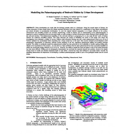
Urban development can vastly alter the drainage systems native to a landscape. Along the coastal region of Sydney, the surface expression of deep coastal basins the related upstream tributaries have been altered by a combination of man-made channelisation and stream deviation to accommodate development. As such the original bedrock topography is no longer reflected on the surface. Infrastructure and tunnelling projects are currently experiencing a boom in Sydney and an understanding of the palaeotopography is important to assist in estimating costs and excavation depth, as well as design of surface infrastructure (shafts, declines) which typically cross the soil-rock interface. Three-dimensional modelling of the soil-rock interface is progressing for an area some 80 km2 south of Sydney Harbour for numerous tunnelling projects. This paper discusses the results of modelling one sector of this larger area where site investigations have indicated a number of narrow, shallow creek tributaries flowing east into a main palaeochannel where up to 40 m of Tertiary sediment has accumulated before expanding into a large coastal bay to the south. Data sources included pre-development aerial photographic interpretation of tributaries, bedrock surface mapping of the bay, significant geotechnical drilling and gradient drainage analysis. The ability to confidently model the palaeochannel system has been governed by the availability of closely spacing drilling data, related to the requirements of the projects. As such there is a high confidence that the main palaeochannel has been accurately modelled (to within the construction design tolerance of 0.2 to 0.5 m. However, the ability to model the form and depth to rock of the buried tributaries has been more difficult. Drilling and air photography interpretation has narrowed the expected channel axis position, however the steeply incised nature of creeks and absolute maximum depth to rock within a channel has been more difficult to accurately define. Overall, the modelling demonstrates the importance of developing a confident palaeotopography profile as part of the geological model used for tunnel design.


